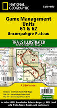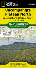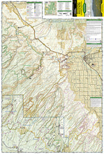
National Geographic Trails Illustrated Colorado Uncompahgre Plateau GMU Map Pack Bundle 1021180. Great for Camping, Fishing, Hunting, Hiking, Backpacking, Family Outings, Outdoor Adventure.
Colorado uses Game Management Units (GMUs) to describe hunting boundaries. National Geographic has created Map Pack bundles to aid hunters with planning and backcountry use. This Map Pack covers the Uncompahgre Plateau by bundling two maps to cover the entire area. The GMUs covered are 61 and 62. The maps include GMU Boundaries, Private Property, BLM Land, ATV Trails (outside of wilderness areas), Access Roads, and much more.
Product Features:
- Waterproof
- Tear-Resistant
- Topographic Map
The Uncompahgre Plateau Map Pack includes:
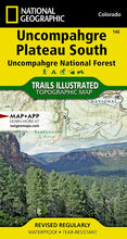
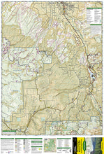
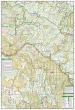
Map 146: Uncompahgre Plateau South - National Geographic's Trails Illustrated map of Uncompahgre Plateau South is a two-sided, waterproof map designed to meet the needs of outdoor enthusiasts with unmatched durability and detail. This map was created in conjunction with local land management agencies and is loaded with valuable recreation information. The front side of the map details the southeastern portion of the Plateau and Uncompahgre National Forest, as well as Ridgway State Park. On the reverse side of the map, the southwestern portion of Uncompahgre National Forest, including the Naturita Division, is featured as well as the Tabeguache Area, Roubideau Special Management Area, Unaweep/Tabeguache Scenic and Historic Byway, and Dry Creek Basin and Dan Noble State Wildlife Areas.
Map 147: Uncompahgre Plateau North - National Geographic's Trails Illustrated map of Uncompahgre Plateau North is a two-sided, waterproof map designed to meet the needs of outdoor enthusiasts with unmatched durability and detail. This map was created in conjunction with local land management agencies and is loaded with valuable recreation information. The front side of the map details the northeastern section of Uncompahgre National Forest and the Roubideau Area, the eastern portions of Dominguez Escalante National Conservation Area and Dominguez Canyons Wilderness, and the city of Delta. On the reverse side of the map, the northwestern section of Uncompahgre National Forest is featured as well as the Tabeguache Area, Grand Mesa National Forest, and the western portions of Dominguez Escalante National Conservation Area and Dominguez Canyons Wilderness.
TIP 1: For lower prices on our maps, check out our promotions (click the link above the picture). Here is the info: Purchase 2 - 3 maps and get 10% off, 4 or more will get you 15% off! This promo includes ALL of our maps. For example, purchase 2 Trails Illustrated maps, 1 Destination map, and 1 Adventure map (total of 4) and get 15% off!! Just put everything in your shopping cart and you will see the savings!
TIP 2: We have a huge selection and great prices on our National Geographic maps! Click here to go to our store, click on the store category called Maps & Books, then browse our sub-categories, or use the Store search tool to find items quickly.
Requirements: None.
You Will Receive: One National Geographic Trails Illustrated Colorado Uncompahgre Plateau GMU Map Pack Bundle
Retail packaging, shipped in a poly envelope. Shipping weight 8 oz.
If you have any questions or concerns, please contact us before or after the sale - we want you to be a happy customer!
Thanks for looking!


