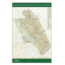
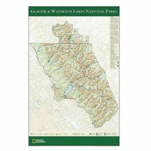
National Geographic Glacier & Waterton Lakes NP Wall Map 24" x 36" Tubed
The wall map of Glacier and Waterton Lakes National Parks, based on the popular Trails Illustrated map of the area, provides rich topographic detail to show the Montana and Alberta parks' magnificent scenery, as well as updated trail and road information for the "Crown of the Continent."
Map is printed on premium quality paper stock, rolled, and packaged in a clear, hard plastic tube.
Product Features:
- Scale: 1:160,000
- Size: 24" x 36"
TIP 1: For lower prices on our rolled wall maps, check out our promotions (click the link above the picture). Here is the info: Purchase 2 and get 10% off, 3 or more will get you 15% off! This promo includes ALL of our rolled wall maps. For example, purchase 1 National Geographic Alaska wall map, 1 Colorado wall map, and 1 Oregon wall map (total of 3) and get 15% off!! Just put everything in your shopping cart and you will see the savings!
You will receive: One National Geographic Tubed Glacier & Waterton Lakes National Parks Wall Map.
Shipped in a Cardboard Tube. Shipping weight 2 lbs.
If you have any questions or concerns, please contact us before or after the sale - we want you to be a happy customer!
Thanks for looking!


